My first stop for the day was Redwood National Park where I wanted to see two things: Redwoods and Roosevelt Elk, one of the few animals I’d ever want to take a saddle to.  The park is up the coastal highway from where I had stayed and I got my first look at the Pacific.  Apparently the west coast felt like it had been excluded from the whole ocean thing and they demanded their own. This is far from the best picture I could have taken, but given the additional criterion of “could I take it from my car” it will suffice.
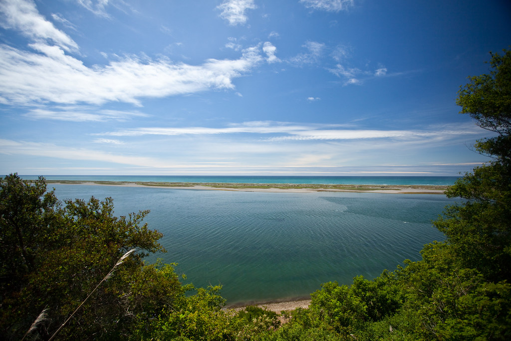
The Pacific.... oooh....
I arrived at Redwood National Park ready to see trees and mega-deer but was greeted by a ranger.
Ranger: Please show your vehicle pass.
Me: *passes her National Park Annual Pass*
Ranger: Sir, this only covers your entrance to the park, if you want to take your car in that’ll be an additional $12.
Me: How far of a walk is it to the main Redwood grove?
Ranger: Seven miles.
Hm… I had no interest in paying $12 so I gambled on being able to see them elsewhere during the elk tour.  The entirety of the elk area had no trees in it larger than saplings in it, well, because of the elk, and to add insult to injury none of the elk actually seemed present.  Maybe they were camouflaged tree elk of some type.  I moved on.
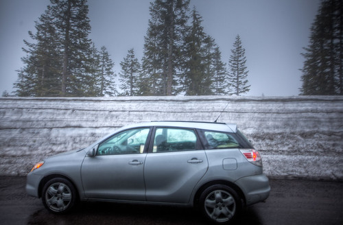
I’m familiar with four levels of roads: Interstates, US Routes, State Routes, and County Routes. Â On the way to crater lake, I discovered a new level called Forest Route. Â These roads move through state game and forest land, are unpaved, a single lane, and only sometimes have pull outs. Â Most of the pull outs were overgrown and each time I slowed down I was passed by the cloud of dust trailing me. Â I magically emerged at the entrance to Crater Lake and was met by a little snow.
A spot higher than my car.
Crater Lake is a destroyed volcano whose center has collapsed forming the Wizard’s Hat in the lake. Â The water is incredibly clear and goes down 2000 feet in some places. Â I trudged through the snow to get to the rim of the lake and was met by an impressive view.
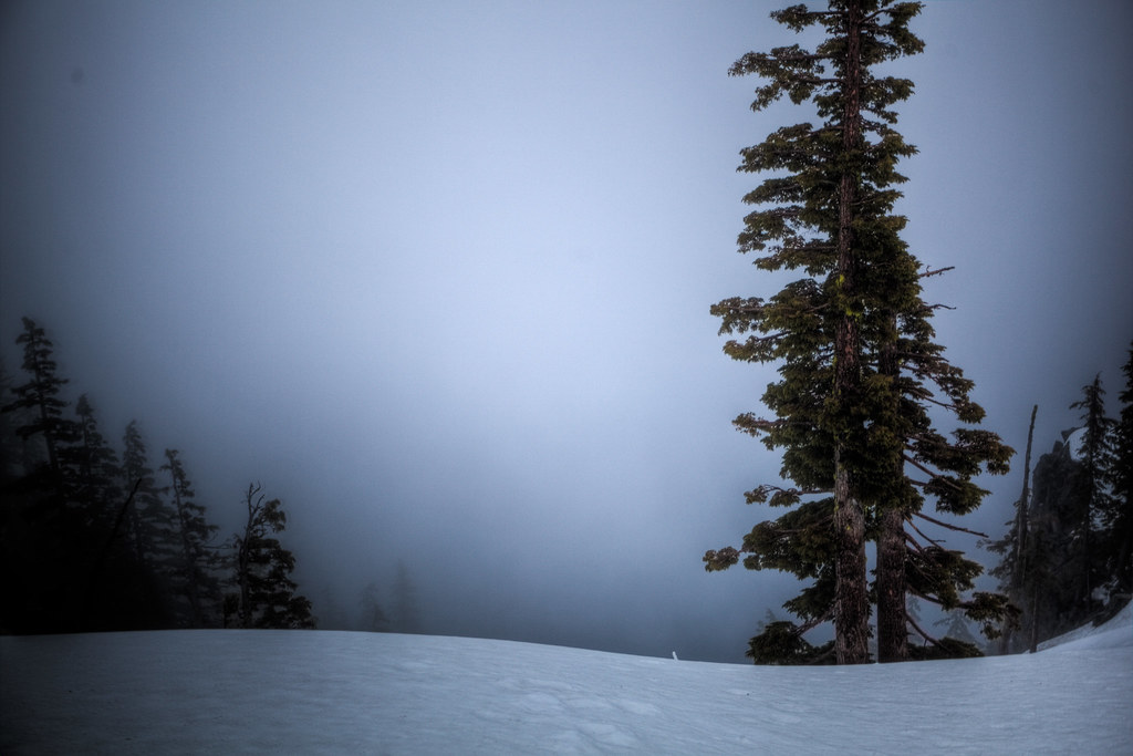
Crater Lake/The AbyssÂ
I could tell the lake was there by what I couldn’t experience. Â In the direction of the chasm there was no noise, no light, no smells, just fog. Â Fog thick enough to obscure any view of the 20 square mile surface with 4.5 cubic miles of water below it. Â Joshua Tree showed the tenacity of life and Crater Lake its necessary temerity. Â A final sign showing the extent of man’s limited ability to command the land waved goodbye to me as I left.
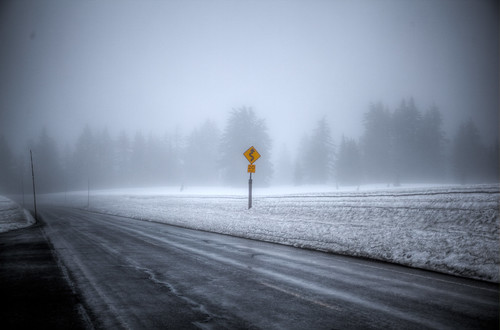
Some fights aren't worth winning
Leaving Crater Lake led through a national forest with wide lanes and wider shoulders. Â The speed limit was 70 MPH and I kept a comfortable speed with the person in front of me at around 78. Â The trees were vast and wet and tired looking and the rain fell like a heavy drool as I made my way north. Â My tank started running low around 11 PM so I set myself to stop at the next town with gas which was 30 miles away. Â I got to the next town and all four gas stations were closed… odd, as they were in the town after. Â I had never driven more than 360 miles on a single tank (30 miles a gallon x 12 gallon tank) and Eugene was another 18 miles away but I noticed that I was about 6000 feet up, so I decided to effectively coast my way there. Â During downhills, I popped the car into neutral and turned off the engine and didn’t drive more than 50 MPH on the uphills. Â I eventually rolled into the first gas station and a man approached my car asking for my payment card. Â It was then I realized that Oregon is the only other state besides New Jersey that requires full service stations, thus none of the small town service posts were open after 10. Â I got 11.97 gallons of gas after 378 miles at 31.6 MPG, a record I hope I never have to beat.